Skip to main content
search
0
Menu
Home
Publications
All Publications
Studies
Jerusalem
Palestinian Heritage in Jerusalem
Bulletins
Infographs
Meaning of the Palestinian Flag
Fateh Central & Revolutionary Council
PLO Central Council
Status of Recognition of the State of Palestine (as of Sep. 2025)
Miscellaneous Graphs
Religious Studies
Reports
Seminar Reports
Annual Reports
Palestinian Heritage
Chronologies & Timelines
Jerusalem Chronology after 2022
Palestine Chronology after 2022
Timeline of Assaults & Attacks on Al-Aqsa Mosque
The Making of the PLO
On Negotiations
The Road to Palestinian Statehood
The Nakba – In Momoriam
PLO 60 years anniversary
Historical Timeline Peace Processes – 1991-2024
Articles and Papers
PASSIA Diary/Yearbook
Posters
PASSIA Wall Calendar
Resources
Maps
Jerusalem
Palestine
Special Themes
Factsheets
National Days & Anniversaries
Palestinian Personalities
Dictionary of Political Terms
Photography Archive
Historical Documents (Palestine & Jerusalem)
Videos
PASSIA Library
Palestinian Culture
From the Heritage of Arab Culture
Palestinian Authors and Their Novels and Memoirs
Islamic and Christian Holy Places
Palestinian Filmmakers and Their (Latest) Works
Activities
Meetings & Workshops
Conferences
Seminars
Human Capacity Development
Leadership & Governance
Civic Education
Civil Society Empowerment Through Training & Skills Development
Training & Education in International Affairs
Special Seminars
Special Symposium on The Late Jerusalemite Scholar Dr. Kamel Al-Assali
Protected Islamic & Christian Cultural Heritage in Jerusalem
Fostering Young Palestinian Jerusalemites active citizenship towards meaningful civil and political
Projects
Building Palestinian Support for a Just, Negotiated Sustainable Solution to the Palestinian-Israeli Conflict
Fostering Young Palestinian Jerusalemites Active Citizenship Towards Meaningful Civil And Political
Mapping of Palestinian Youth-related Centers in East Jerusalem
Protecting Islamic and Christian Cultural Heritage in Jerusalem
Strategy and Security (2006)
Civic Education In Palestine (2005-2006)
Palestinian Personalities – A Biographic Dictionary (2004)
Promoting Good Governance (2002)
Governance Working Group (EuroMeSCo, 2001-2003)
Dialogue and Education for a Continued Palestinian Presence in East Jerusalem (2016-2017)
Building a Base for Common Scholarship and Understanding (1995-1996)
Palestinian-Israeli Impasse (2004)
Documents On Palestine And Jerusalem (2006-2007)
Arab Jerusalem Rehabilitation Project (1999)
Research Studies Program
About Us
About PASSIA
Mission
Certifications
Board of Trustees
PASSIA Team
Dr. Mahdi Abdul Hadi
Internships & Volunteering
Contact us
facebook
instagram
whatsapp
phone
email
Donate
search
0
was successfully added to your cart.
Menu
Press enter to begin your search
Close Search
Jerusalem Maps
Click to view
Palestine Maps
Click to view
Related Publication
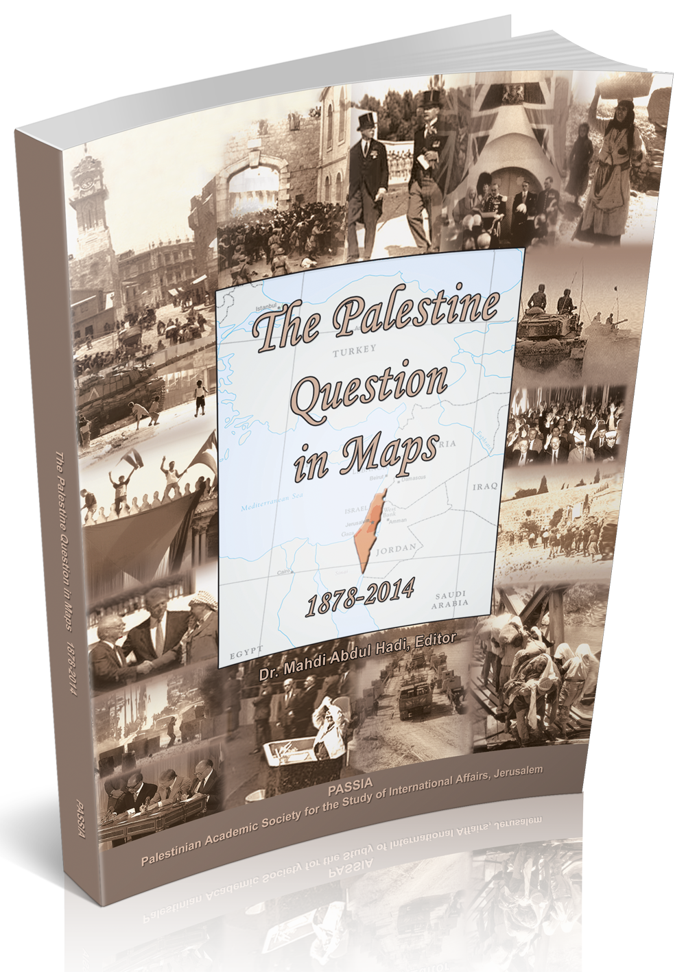
The Palestine Question in Maps
View the Book
Close Menu
Donate
Home
Publications
All Publications
Studies
Jerusalem
Palestinian Heritage in Jerusalem
Bulletins
Infographs
Meaning of the Palestinian Flag
Fateh Central & Revolutionary Council
PLO Central Council
Status of Recognition of the State of Palestine (as of Sep. 2025)
Miscellaneous Graphs
Religious Studies
Reports
Seminar Reports
Annual Reports
Palestinian Heritage
Chronologies & Timelines
Jerusalem Chronology after 2022
Palestine Chronology after 2022
Timeline of Assaults & Attacks on Al-Aqsa Mosque
The Making of the PLO
On Negotiations
The Road to Palestinian Statehood
The Nakba – In Momoriam
PLO 60 years anniversary
Historical Timeline Peace Processes – 1991-2024
Articles and Papers
PASSIA Diary/Yearbook
Posters
PASSIA Wall Calendar
Resources
Maps
Jerusalem
Palestine
Special Themes
Factsheets
National Days & Anniversaries
Palestinian Personalities
Dictionary of Political Terms
Photography Archive
Historical Documents (Palestine & Jerusalem)
Videos
PASSIA Library
Palestinian Culture
From the Heritage of Arab Culture
Palestinian Authors and Their Novels and Memoirs
Islamic and Christian Holy Places
Palestinian Filmmakers and Their (Latest) Works
Activities
Meetings & Workshops
Conferences
Seminars
Human Capacity Development
Leadership & Governance
Civic Education
Civil Society Empowerment Through Training & Skills Development
Training & Education in International Affairs
Special Seminars
Special Symposium on The Late Jerusalemite Scholar Dr. Kamel Al-Assali
Protected Islamic & Christian Cultural Heritage in Jerusalem
Fostering Young Palestinian Jerusalemites active citizenship towards meaningful civil and political
Projects
Building Palestinian Support for a Just, Negotiated Sustainable Solution to the Palestinian-Israeli Conflict
Fostering Young Palestinian Jerusalemites Active Citizenship Towards Meaningful Civil And Political
Mapping of Palestinian Youth-related Centers in East Jerusalem
Protecting Islamic and Christian Cultural Heritage in Jerusalem
Strategy and Security (2006)
Civic Education In Palestine (2005-2006)
Palestinian Personalities – A Biographic Dictionary (2004)
Promoting Good Governance (2002)
Governance Working Group (EuroMeSCo, 2001-2003)
Dialogue and Education for a Continued Palestinian Presence in East Jerusalem (2016-2017)
Building a Base for Common Scholarship and Understanding (1995-1996)
Palestinian-Israeli Impasse (2004)
Documents On Palestine And Jerusalem (2006-2007)
Arab Jerusalem Rehabilitation Project (1999)
Research Studies Program
About Us
About PASSIA
Mission
Certifications
Board of Trustees
PASSIA Team
Dr. Mahdi Abdul Hadi
Internships & Volunteering
Contact us
Search
facebook
instagram
whatsapp
phone
email
X
X